
See the bigger picture. ZenSat brings satellite insights, field-level mapping, and land-use compliance together.


Agriculture is spatial. Yet most supply chain oversight stops at spreadsheets and field visits. ZenSat gives you the full geospatial layer: real-time satellite monitoring, high-resolution field maps, vegetation health analysis, and land compliance alerts all delivered through one integrated platform. It’s designed to support smarter planning, more efficient inspections, and faster responses to risk.
With ZenSat, every farmer’s land is mapped with GPS precision, creating a reliable digital record of field boundaries and protected zones. NDVI satellite analysis tracks crop health over time, helping you identify underperforming areas and respond to issues before they escalate. And with built-in geofencing, weather alerts, and land change detection, ZenSat turns geospatial data into an automated compliance and monitoring system you can rely on.

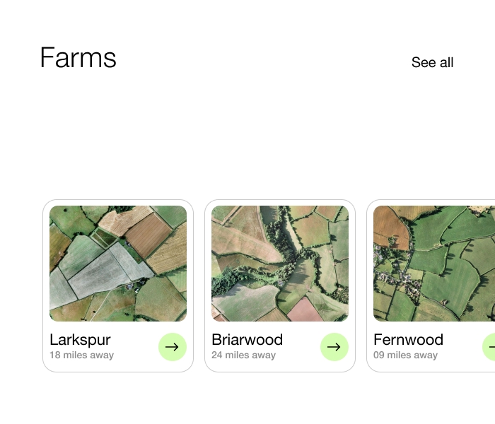
Along with storing data about each of your farmers, you can draw, store, and measure their fields with polygon mapping tools for accurate land size, shape, and location.
Access hyper-local weather forecasts and alerts via API to support decision-making at both field and regional levels.
Track vegetation health over time with NDVI satellite imagery. Compare images over time to spot risks early and support field decisions remotely. Additionally, you can monitor crop cycles, land use changes, and field activity trends with recurring satellite imagery.
Upload boundary files from government or external databases to align field data with official geographies. Automatically flag fields that overlap with restricted or protected zones using built-in spatial validation.
.jpg)
With ZenSat, oversight doesn't end where the road does. Gain full visibility into every hectare, protect natural resources, and enforce land use policies with satellite precision without relying on outdated maps or time-consuming field checks on foot.
From planning to harvest, ZenSat gives you a clear picture of performance and risk without stepping foot in the field. Monitor thousands of farms at once, make smarter input decisions, and back your sustainability claims with hard data.

Start transforming your business with smarter, faster, and more efficient solutions.